An air quality map application that provides routes ranked on air quality for walking between two places. It features autocomplete for location inputs.
-
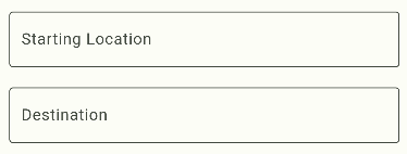
Autocomplete for Directions
- Dynamic and user-friendly autocomplete feature for entering starting and destination locations.
- Integration with location services for accurate and quick suggestions.
-
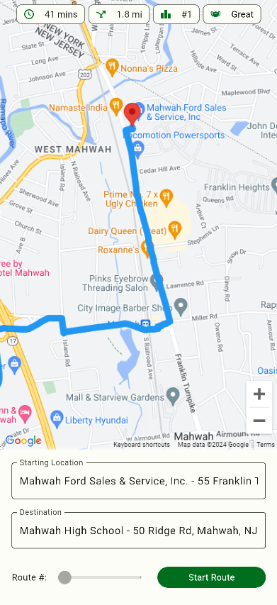
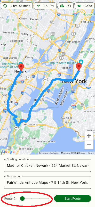
Routes Ranked on Air Quality
- Routes are calculated, rendered, and ranked based on real-time air quality data.
- Users can select the healthiest walking path between two points.
-
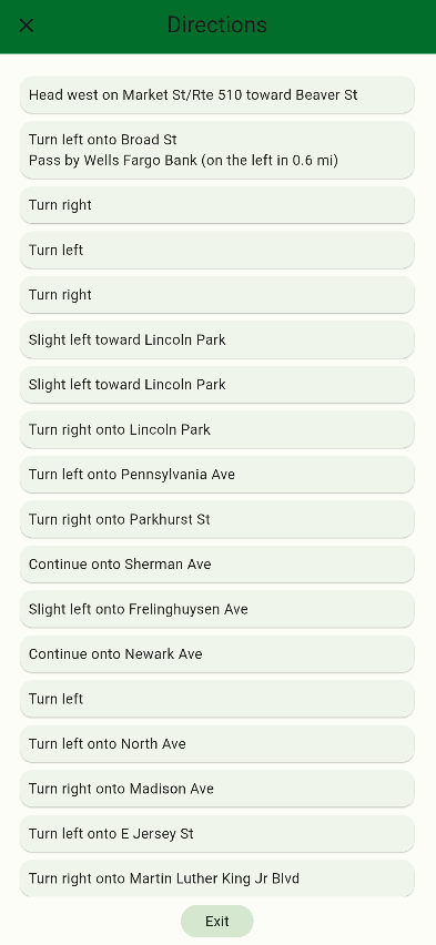
Easily Readable Walking Directions
- Clear and concise walking directions displayed for each route.
- Turn-by-turn navigation instructions to ensure easy following.
-
Glanceable Statistics
- Miles: Displays the total distance for each route.
- Time: Estimated time to complete the route.
- Air Quality Ranking: Ranks routes based on air quality for easy comparison.
- google maps api key
- Get google maps api key with places and routes api enabled
- .env file
- Create a .env file in the BreatheEasy directory containing this line: MAPS_API_KEY=[GOOGLE MAPS API KEY]
- index.html (web view only)
- Replace %MAPS_API_KEY% with [GOOGLE MAPS API KEY]
(Mobile and Desktop App Not Implemented Yet)
- Click on the Text Fields below the Map to enter the autocomplete page
- Click on a suggested address to return to the map page

- After two addresses are selected, use slider to select route
- Click start route to get directions
- Flutter SDK
- Dart
- Shelf Package (for server)
- Docker (container for hosting)
- Postman (testing api)
- Google Maps API